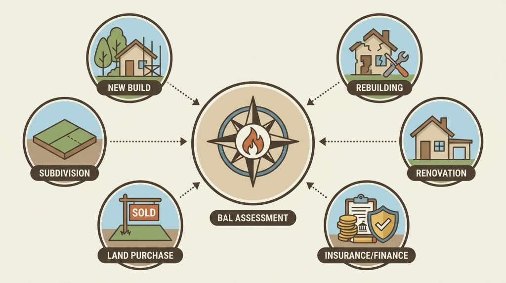
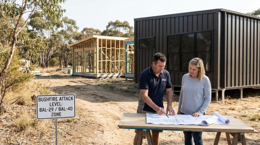
Building on land flagged within a Western Australian bushfire prone area follows a specific sequence, and skipping a step tends to cost more time than following it properly from the start. The process sits within State Planning Policy 3.7: Bushfire, which governs how bushfire risk is managed through the planning and building system in WA, alongside the Building Code of Australia. Understanding how the pieces fit together, from the initial map check through to a signed-off building permit, makes the difference between a project that moves smoothly and one that stalls at a council desk. We guide clients through this pathway regularly across the Perth region, and this sets out how it actually runs.
What Sets the Pathway in Motion
A handful of checkpoints determine whether a project needs to follow the full bushfire approval process in WA.
The land sits within the Map of Bush Fire Prone Areas, maintained by the Department of Fire and Emergency Services.
The proposal involves a new habitable building, a significant addition, or a rebuild on mapped land.
The local government’s planning scheme applies Schedule 2 Part 10A of the Planning and Development (Local Planning Schemes) Regulations, which brings bushfire provisions into the development approval process.
The eventual construction is likely to sit above BAL-LOW, meaning specific building requirements under AS 3959 will apply.
Confirming these early, before drawings are finalised, sets the direction for everything that follows, since the pathway looks different depending on what the final classification turns out to be.
Getting the Assessment Into the Right Hands
Once a property is confirmed as bushfire prone, the next step is the assessment itself, and this needs to come from someone accredited to do it. A standard BAL assessment is typically carried out by an accredited Level 1 BAL Assessor or a recognised Bushfire Planning Practitioner. Where a project needs a more detailed BAL contour map, showing radiant heat impacts and indicative ratings across the whole lot rather than a single point, that work generally needs to come from a minimum Level 2 practitioner under the Bushfire Planning and Design accreditation framework.
This distinction matters because not every project needs the same depth of assessment. A straightforward single dwelling on a smaller lot may only need a basic BAL assessment, while a subdivision or a larger, more complex site is more likely to require the fuller contour mapping. Getting the right level of assessment matched to the project avoids paying for more detail than a straightforward build needs, while making sure a complex site isn’t under-assessed and sent back by council.
What Happens Once the Rating Comes Back
With a confirmed BAL rating in hand, the project moves into the formal approval stage, and what’s required here depends heavily on the classification itself.
For most standard residential proposals, the BAL assessment is submitted alongside the building permit application, with a registered building surveyor confirming the assessment meets the required standard before signing off.
For BAL-40 and BAL-FZ classifications, a separate planning approval is generally required in addition to the building permit, reflecting the higher level of scrutiny these ratings carry.
Single dwellings and ancillary dwellings on smaller lots are sometimes exempt from that extra planning approval step, depending on lot size and local government provisions.
Local governments can request additional documentation, such as a bushfire management plan, where site conditions or the scale of development warrant it.
This is where the pathway diverges most clearly between a straightforward suburban build and a project on more exposed or complex land.
Where BAL-40 and Flame Zone Change the Process
The jump from a standard building permit process to one requiring separate planning approval is significant, and it’s worth planning for early rather than treating it as an unexpected hurdle. Projects landing in BAL-40 or BAL-FZ typically involve closer review of siting, access, and water supply for firefighting purposes, alongside the construction standard itself. Councils assessing these applications are weighing broader bushfire risk management considerations, not just the building’s material specification, which is part of why the current policy framework places more emphasis on addressing bushfire requirements at the earliest planning stages rather than after a design is locked in.
Lots created before the current policy came into effect can sometimes access alternative pathways where site constraints make full compliance impractical, though these provisions are assessed on a case by case basis rather than applied automatically.
Moving Through the Process Without Losing Time
The pathway runs smoothly when each stage feeds into the next in the right order: confirming the mapping, engaging the right level of accredited assessment, and then matching the design and documentation to whatever the rating and local planning scheme require. Projects that treat the bushfire pathway as a late addition to an already-finished design are the ones most likely to face delays, redesigns, or additional council requests partway through. Getting the sequence right from the outset, with realistic expectations of both timeline and cost, tends to keep a project moving at the pace it was planned for.
We work through this pathway with clients across the Perth region on a regular basis, matching the assessment to what the project and the site actually need. Once a rating is in hand, some clients ask how it compares to a full bushfire management plan and when each one applies. this comparison of a BAL assessment versus a bushfire management statement breaks down that difference.