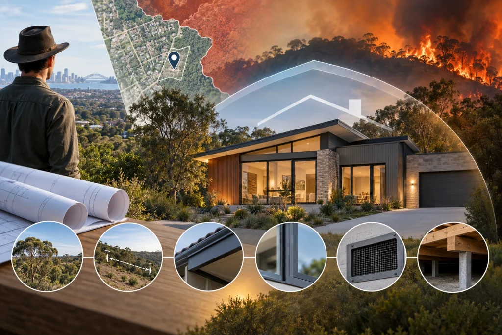
A block of land can look perfect on paper and still carry a bushfire risk that only shows up once you check the right overlay. Before signing anything, most buyers in Western Australia and New South Wales can pull up a bushfire prone area map through their state planning portal and get a first look at what they’re dealing with. The catch is that these maps are a starting point, not a final answer, and misreading one can mean budgeting for a very different build than the one you end up needing. We look at these maps constantly when scoping assessments, and this walks through what to look for before you commit to a purchase.
What You’re Actually Looking At
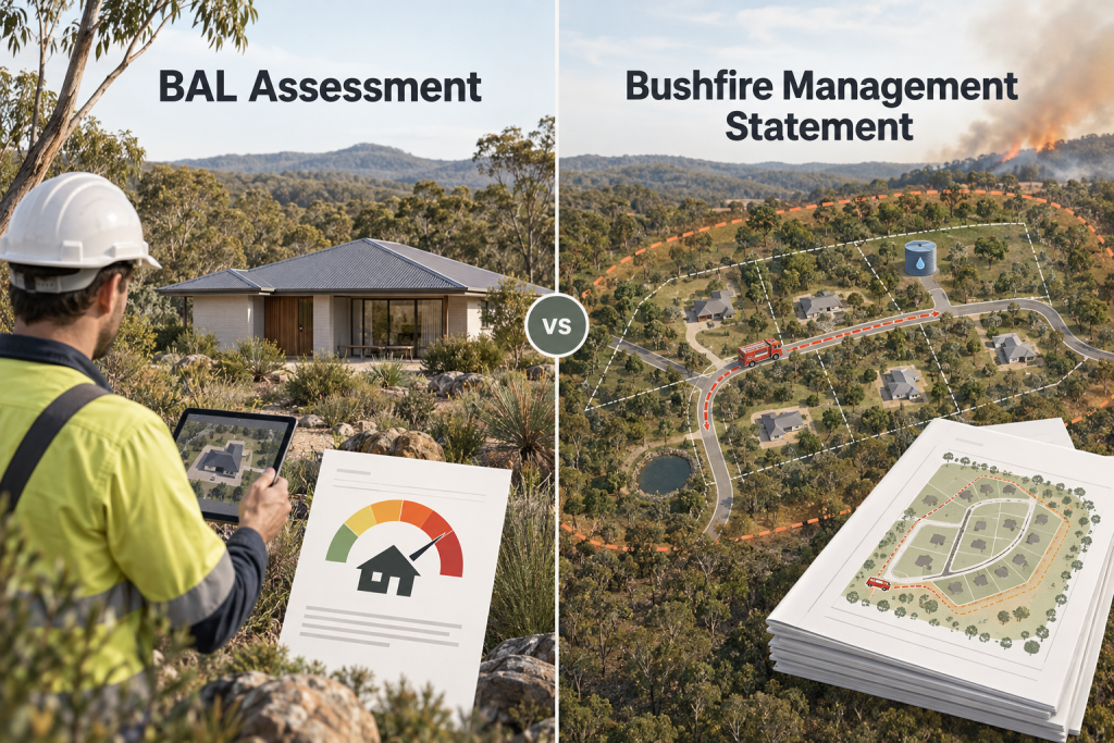
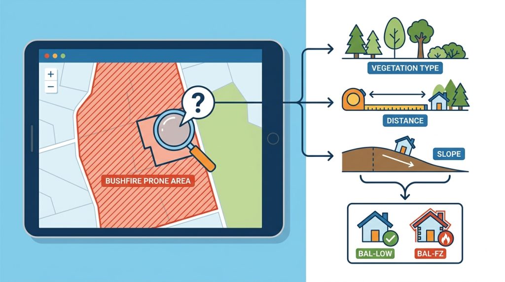
A bushfire prone area map is a planning overlay, produced by the relevant state authority, that flags land within a designated bushfire risk zone. In Western Australia this sits within the Map of Bush Fire Prone Areas administered through the state’s planning framework; in New South Wales it’s managed through the Rural Fire Service’s bushfire prone land mapping. Either way, the map itself doesn’t hand you a BAL category. It only tells you whether the land falls inside a zone where a Bushfire Attack Level assessment will be required as part of a development application.
That distinction trips a lot of buyers up. Being inside a mapped area doesn’t automatically mean a high rating, and being outside one doesn’t guarantee there’s nothing to consider, particularly on larger rural blocks where local conditions can shift over time.
Three Things to Check the Moment You Open the Map
Before getting into the specifics of a block, there are a few quick checks worth running on any property you’re seriously considering.
Confirm whether the parcel itself, not just the general suburb, falls inside the mapped bushfire prone boundary.
Note how close the boundary line sits to the block, since properties right on the edge of a zone can sometimes fall either side depending on exact positioning.
Check for any recent map updates or amendments, since these overlays are periodically revised as vegetation and land use change.
These three checks won’t give you a rating, but they’ll tell you quickly whether a proper assessment needs to be part of your due diligence before you go further with an offer.
The Map Shows a Zone, Not a Rating
It helps to think of the bushfire prone area map as a trigger rather than a verdict. Once a block sits inside a mapped zone, the actual BAL classification comes from a site-specific process that looks at what surrounds that particular piece of land: the type of vegetation nearby, how far it sits from a future dwelling, and the slope underneath it. Two blocks on the same street, both flagged on the map, can still land on very different points of the BAL scale depending on those local details.
This is where a lot of the guesswork buyers do on their own tends to fall short. A quick look at satellite imagery can suggest how much greenery surrounds a block, but it can’t classify vegetation type accurately, measure slope with any precision, or apply the calculation method that produces an actual rating.
What the Map Won’t Tell You
There’s a set of details the mapping layer simply doesn’t capture, and it’s worth knowing what’s missing before treating the map as the full picture.
The precise vegetation classification affecting the specific block.
The distance between existing or future vegetation and where a dwelling is likely to sit.
Slope conditions under nearby vegetation, which materially affect exposure.
Whether adjoining land is likely to be cleared, developed, or left as-is, which can shift future exposure.
Any local council overlays or requirements that sit on top of the state mapping.
None of these gaps make the map less useful as a first filter. They just mean it should prompt further questions rather than settle them.
Cross-Checking the Land Before You Commit
Buyers who get this right tend to treat the map as step one of two. Step two is walking the boundary, or having someone assess it, with an eye on what’s actually growing nearby and how the land sits relative to the vegetation around it. Slope in particular is easy to underestimate from a standing position on the block itself, since fire behaviour responds to gradient in ways that aren’t always obvious without measurement.
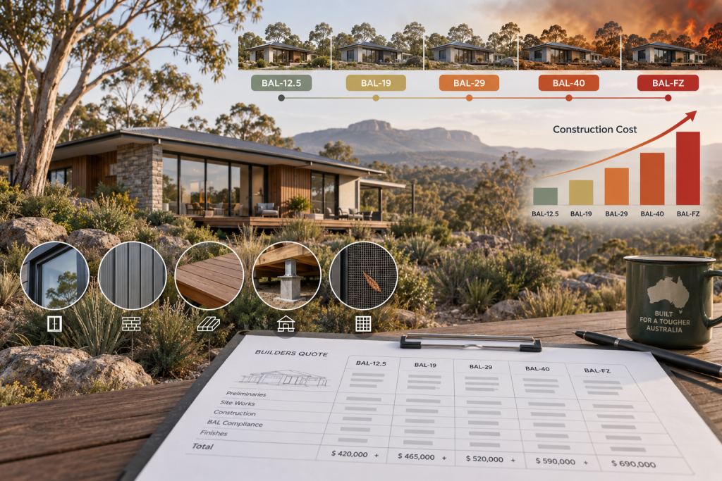
It’s also worth thinking ahead to how the eventual build will respond to whatever category the land turns out to carry. A rating on the higher end of the scale can shift material choices, glazing specifications, and even how early design work gets approached, all of which is easier to plan for before a purchase than to discover afterward. Buyers weighing up a block often find it useful to have a rough sense of what an assessment involves and what it tends to cost, so that due diligence timelines and offer conditions can be set with realistic expectations rather than guesswork.
From Overlay to Offer
Reading the map correctly is really about knowing what question it answers and what question it leaves open. It tells you whether a site needs a proper assessment. It doesn’t tell you what that assessment will find, and that gap is exactly where informed buyers protect themselves before signing a contract. We work through this stage with clients regularly, checking the mapping against the specific block and flagging what a fuller assessment is likely to involve before land changes hands. If you want to understand what a rating actually means for construction once it’s confirmed, this breakdown of BAL-12.5 to BAL-FZ construction requirements sets it out by category, and for the wider view of how these assessments work across different properties, this complete guide to Bushfire Attack Level assessments in Australia covers the full process.