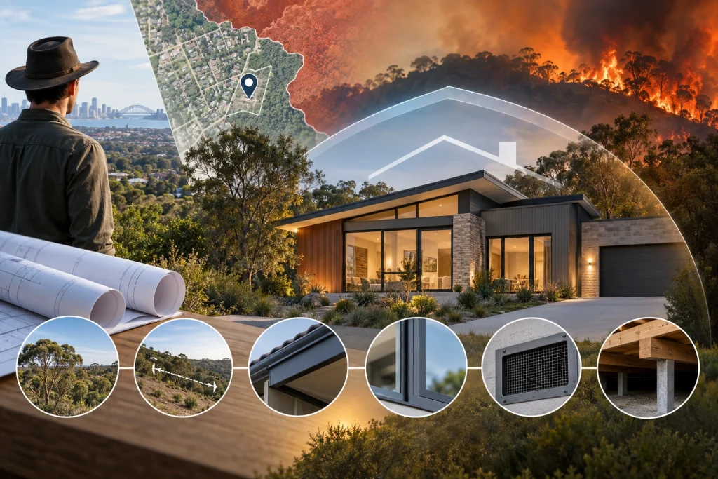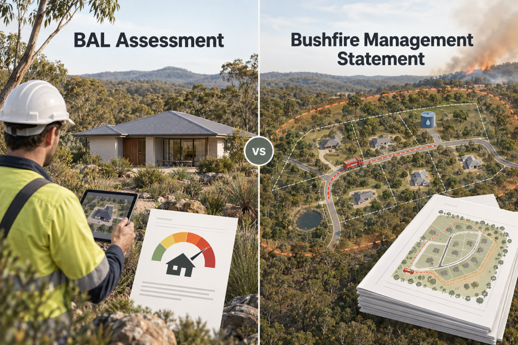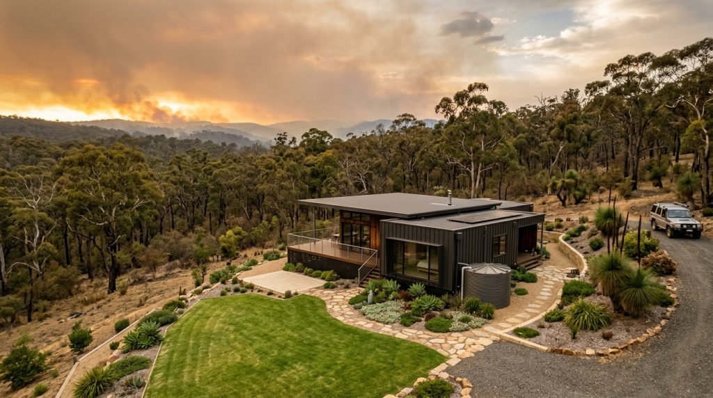
A Bushfire Attack Level rating is one of those terms that shows up on a planning report and quietly decides how a house gets built. It dictates window glazing, decking material, subfloor construction, even the type of screens on a vent. For anyone building, renovating, or buying in a bushfire-prone area of Australia, understanding what the number actually represents (and how it’s worked out) makes the difference between a smooth approval and a costly redesign. We work with this rating system daily, and this guide walks through what it means and how assessors reach a final figure.
The Number That Sets the Standard
A BAL rating measures the severity of potential bushfire attack a building might face, expressed as a category rather than a single figure. It comes from Australian Standard AS 3959, the national framework for construction in bushfire-prone areas. The rating doesn’t measure the chance of a fire occurring. It measures how much heat, ember attack, and flame contact a structure could realistically be exposed to, based on the land around it.
The rating exists so that construction responds to exposure, not just location on a map. Two blocks a street apart can carry very different levels because the vegetation, slope, and orientation around them differ.
Every BAL category corresponds to a specific set of construction requirements under the National Construction Code. That’s the practical weight behind the classification: it isn’t advisory, it’s regulatory.
Reading the BAL Scale
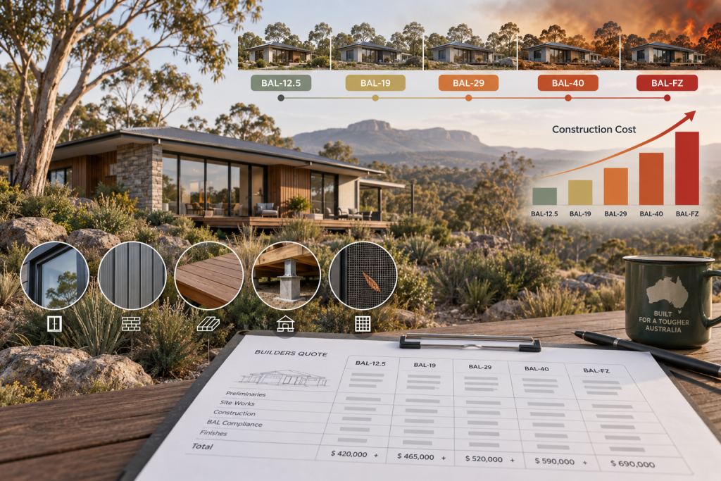
Assessors classify sites into one of six categories, each reflecting a different intensity of potential exposure.
BAL-LOW – Low risk. No specific construction requirements beyond standard practice.
BAL-12.5 – Ember exposure is the main concern; minor construction upgrades apply.
BAL-19 – Increasing ember and radiant heat exposure.
BAL-29 – Higher radiant heat with likely ember attack.
BAL-40 – Significant exposure to flame contact and high radiant heat.
BAL-FZ (Flame Zone) – Direct exposure to flame; the most stringent construction category.
Each step up the scale layers on additional building requirements, from ember-proof mesh through to fire-resistant cladding and structural elements rated for direct flame contact.
What Actually Feeds Into the Number
The rating isn’t guessed. It’s calculated using a defined set of inputs specified in AS 3959, and every one of them is site-specific rather than generic to a suburb or postcode.
Vegetation classification is the starting point. Assessors identify the type of vegetation surrounding the site, whether that’s forest, woodland, shrubland, grassland, or a combination, because different vegetation types carry and release fire energy differently. A dense eucalypt forest behaves very differently under fire conditions than open grassland, even at the same distance from a building.
Distance to that vegetation matters just as much as the vegetation type itself. The closer the classified vegetation sits to the proposed building, the higher the potential exposure, all else being equal.
Slope under the vegetation is the third major factor, and it’s one that surprises a lot of people. Fire moves faster uphill, so a block with vegetation sitting on a slope beneath the building faces a materially different exposure profile than the same vegetation on flat ground or a downhill slope.
Turning Site Data Into a Rating
Once vegetation classification, distance, and slope are recorded, assessors apply a Fire Danger Index appropriate to the region, then run the combination through the calculation method set out in AS 3959. There are two accepted approaches:
Method 1, a simplified calculation suited to most standard residential sites with straightforward vegetation and slope conditions.
Method 2, a more detailed calculation used for complex sites, larger developments, or where a more precise result is needed to avoid over-classification.
The output of either method is a radiant heat flux figure, measured in kW/m². That figure is what actually maps onto the BAL category. A site producing a lower radiant heat flux lands in BAL-12.5 or BAL-19; a site producing a high figure can land in BAL-40 or Flame Zone. The process is documented and repeatable, which is why a proper site assessment, rather than a desktop estimate, is what council and certifiers expect to see attached to a development application.
Why Two Neighbouring Blocks Can Land Differently
It’s common for two blocks on the same street to come back with different ratings, and it isn’t an error. A block backing directly onto a forested reserve with a downhill approach to the vegetation will almost always rate higher than a block set further back or shielded by a managed firebreak. Orientation plays a role too: the direction the vegetation sits relative to the building affects how exposure is calculated, since fire behaviour isn’t uniform in every direction from a site.
This is also why a rating obtained years ago, or for a different building footprint, doesn’t necessarily transfer. Vegetation grows back after clearing, land use around a property changes, and even a shift in where a dwelling sits on the block can move the final classification.
Where the Rating Takes the Design Next
Once the category is confirmed, it stops being a compliance figure and becomes a design input. Construction detailing, material selection, and even how early drawings are set up all shift depending on the outcome, which is why builders increasingly ask for the classification before finalising working plans rather than after. It also tends to intersect with other site assessments, since features like glazing performance and ventilation that get scrutinised for thermal efficiency are often the same elements that need upgrading for ember protection.
We see this stage as one of the more consequential steps in a bushfire-prone build, because the number determines real construction outcomes rather than sitting as paperwork. If you’re working through a development application and need the classification done properly and mapped against what it will mean for your build, we can help you get there. For a clearer picture of what the process costs and what influences the price, this breakdown of assessment costs and pricing factors is worth a look, and for the fuller picture of how assessments work across different property types, this complete guide to Bushfire Attack Level assessments in Australia covers it in depth.